At the Edge of a Continent
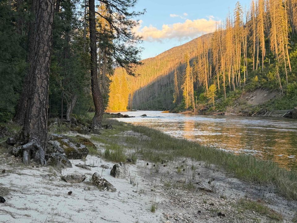
The "edge" of North America is not where you think it is.
You can almost certainly recognize the familiar shape of North America on a map, but you might not realize that this shape has changed dramatically over millions of years. In fact, the place we call North America is actually built around a core platform—what geologists call a "craton"—that has had many extraneous pieces added to it over time.
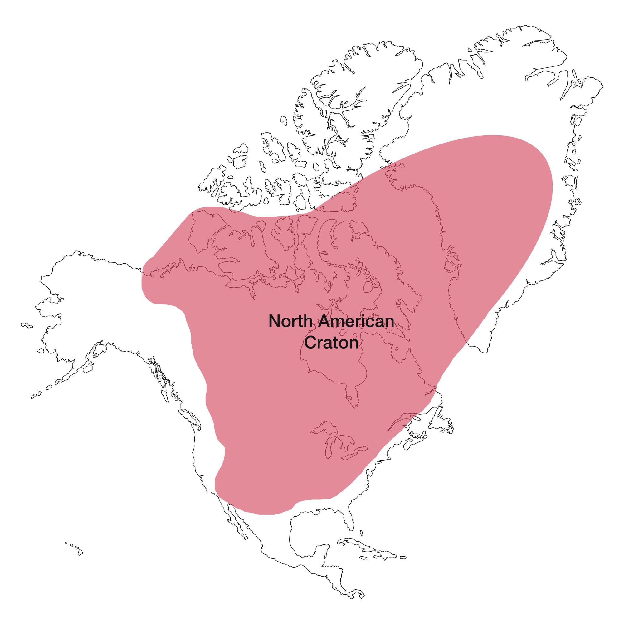
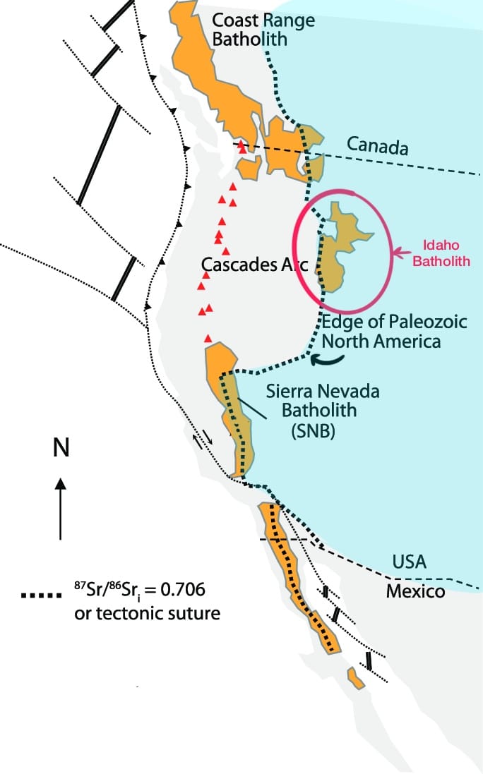
Many of these changes have been happening in the American West as the tectonic plate that North America sits on began sliding westward 200 million years ago. When the tectonic plate started moving westward, it collided with island chains and fragments of older continents that stuck to the leading western edge of North America. And each time these "floating terranes" were added, they increased the surface area of the continent and pushed the coastline further west.
Very short and simple demonstration of terranes being added ("accreted") to a continent.
What's fascinating to me is that the original coastline of North America was in fact in Idaho, and you can actually stand on the line where the original continent ended, and new pieces began attaching. In Idaho, this line is known as the Salmon River Suture Zone, or more technically, the 0.704/0.706 Isopleth based on the ratio of Strontium isotopes found in continental versus oceanic rocks.
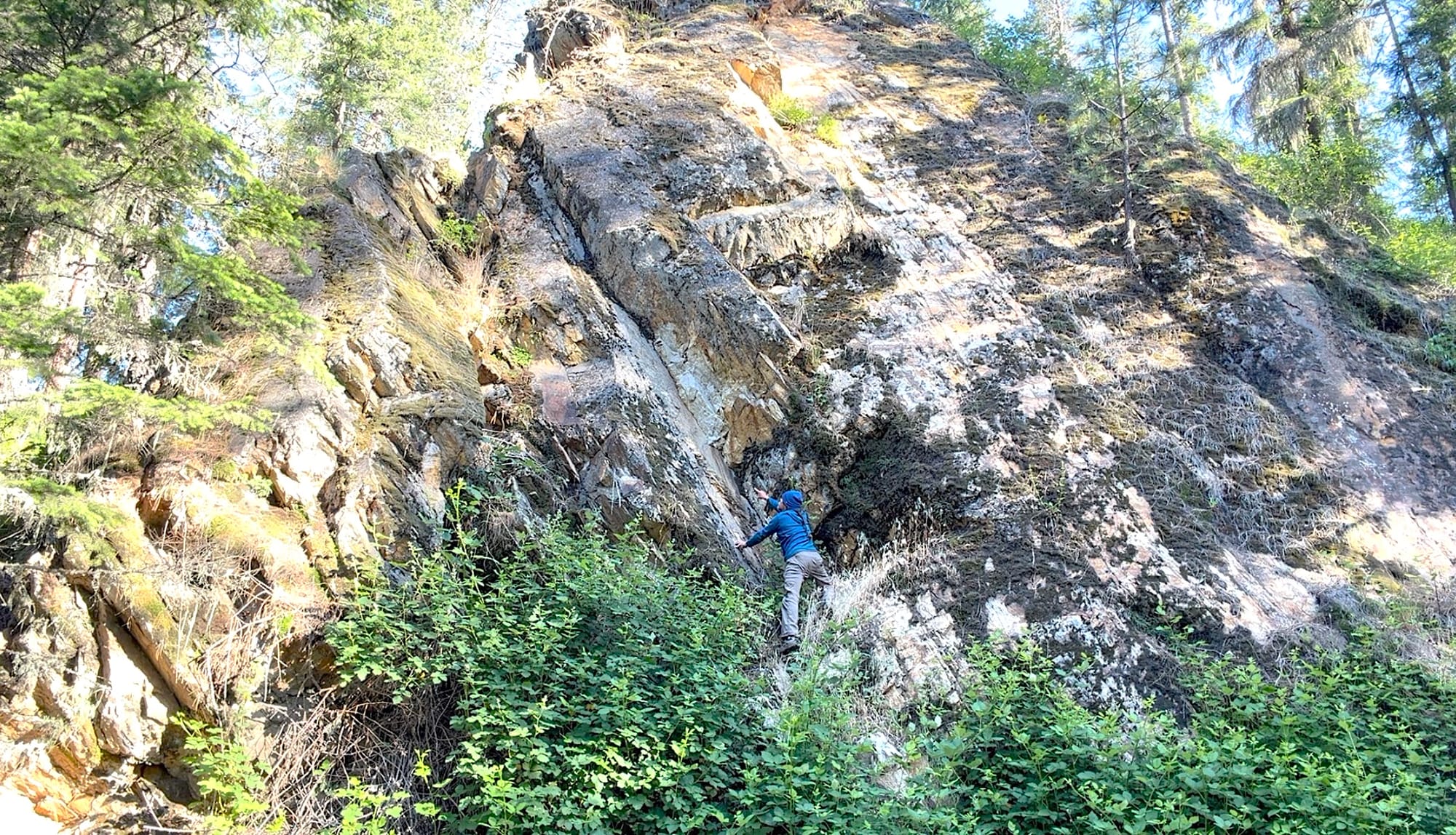
So that's one part of the story, but the piece I want to focus on today is a fascinating area known as the Idaho Batholith. As the North American plate has moved westward, ocean plates have slid (and continue to slide) under the North American plate in a process called subduction. Forced downward, the edge of the ocean plate melts into molten magma that cools into massive bodies of rock that later rise to the Earth's surface as mountain ranges. Single bodies of solidified magma are called plutons, and a collection of plutons form a batholith.
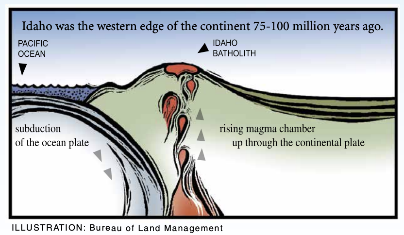
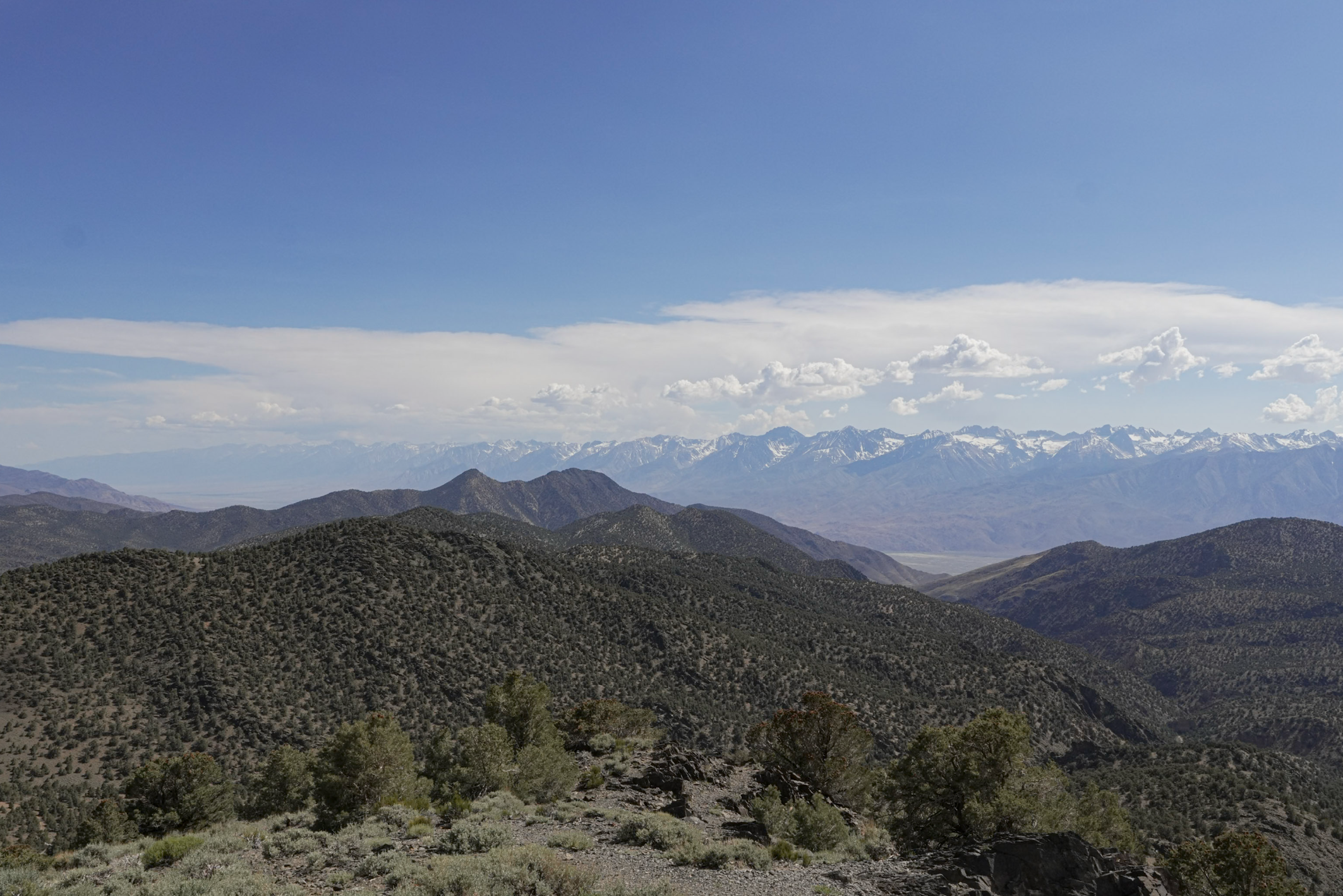
Many of the most significant mountain chains in western North America, from Alaska to the tip of Baja California, are formed from these plutons and batholiths. For example, the 400-mile-long Sierra Nevada is one of our most famous batholiths.
Far fewer people have heard of the Idaho Batholith, but it's significant for several different reasons. First off, it's one of the largest batholiths in North America (and in the world), plus it's unique in being the only batholith that formed beneath the North American Craton rather than in an offshore or nearshore environment.
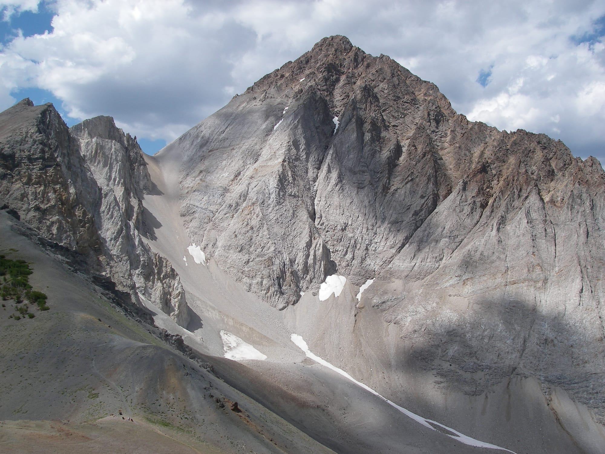
The crust of the North American plate later went through a period of stretching and cracking starting around 50 million years ago, and the deeply submerged Idaho Batholith rose to the surface to produce a massive, elevated plateau. This might not seem important, but this elevated landscape has since lost upwards of five miles of material due to erosion, and these eroded sediments were deposited by paleorivers in far-flung places that help define the American West as we know it today.
For example, sediments eroded from the Idaho Batholith ended up being deposited in shallow waters and forming the underlying rocks of places like California's Great Valley, Oregon's central Coast Ranges, and Wyoming's Wind River basin.

On a modern time scale, the Idaho Batholith has also done something even more significant. This deeply eroded plateau has produced a vast area of extremely rugged mountains and deep canyons that have defied human development and created one of the largest and wildest places in the continental United States.
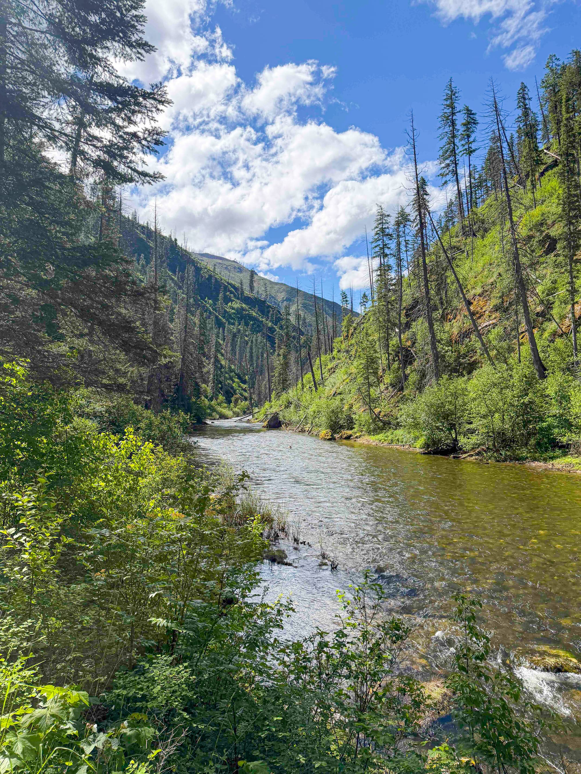
With few roads or towns of any size, and access limited to rough gravel roads, the Idaho Batholith now encompasses over 4 million acres of high-quality wilderness. That's a story worth celebrating!

A Special Issue
I'm putting together a special issue of the newsletter to share the best photos from my recent trip to the Selway-Bitterroot Wilderness to research the Idaho Batholith. This bonus newsletter will be sent exclusively to paid subscribers as a thank you for helping support my work.

Member discussion