A Dream (Partly) Fulfilled
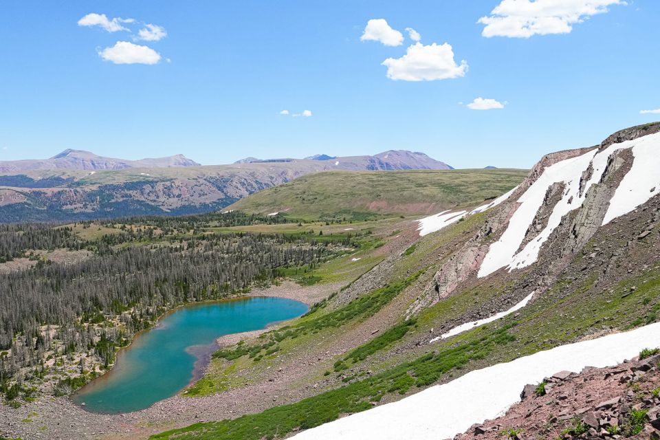
Many years ago, I spotted a bizarre, high-elevation mountain range from the window of a cross-country flight and vowed that I would someday find this place. I didn't realize it would take this many years or be this hard to reach.
When I first saw these mountains, I had no idea what I was looking at. All I knew was that I was seeing a bunch of mountains with massive, broadly rounded peaks somewhere east of Salt Lake City. I had never witnessed so much alpine tundra over such a vast landscape in all my life, and I was instantly captivated.
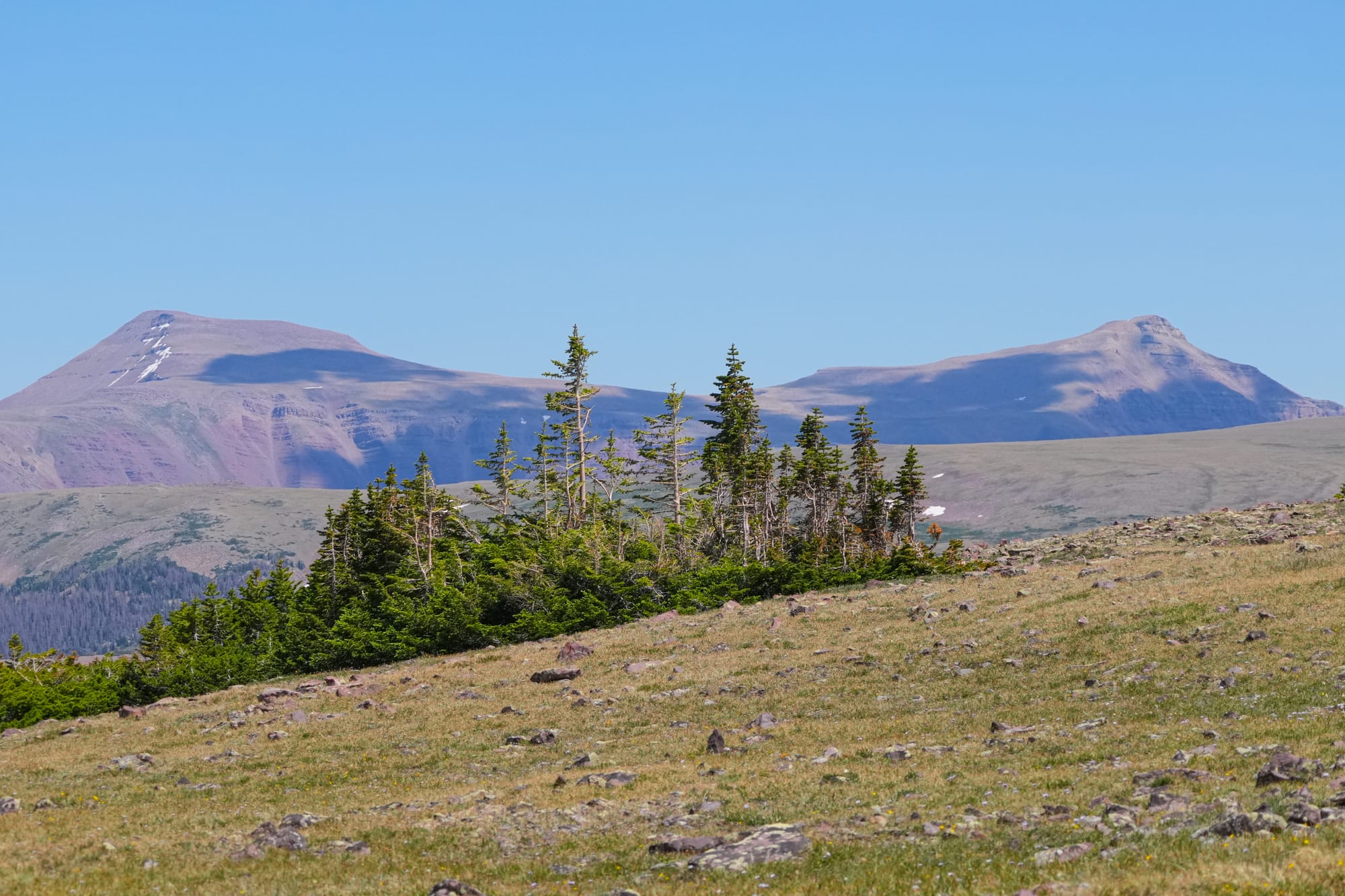
Surprisingly, it was only after years of becoming more generally familiar with the nuances and geology of the American West that it finally dawned on me that this mountain range could only be the Uinta Mountains in the far northeastern corner of Utah.
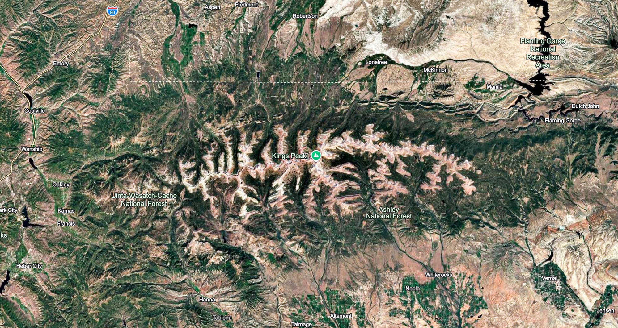
So, that was the first step, but the second step was figuring out how in the heck to get there. The Uinta Mountains are nowhere near any of the landscapes or highways I regularly visit, and, in fact, unless you live in Salt Lake City, accessing this remote mountain range is its own significant journey.
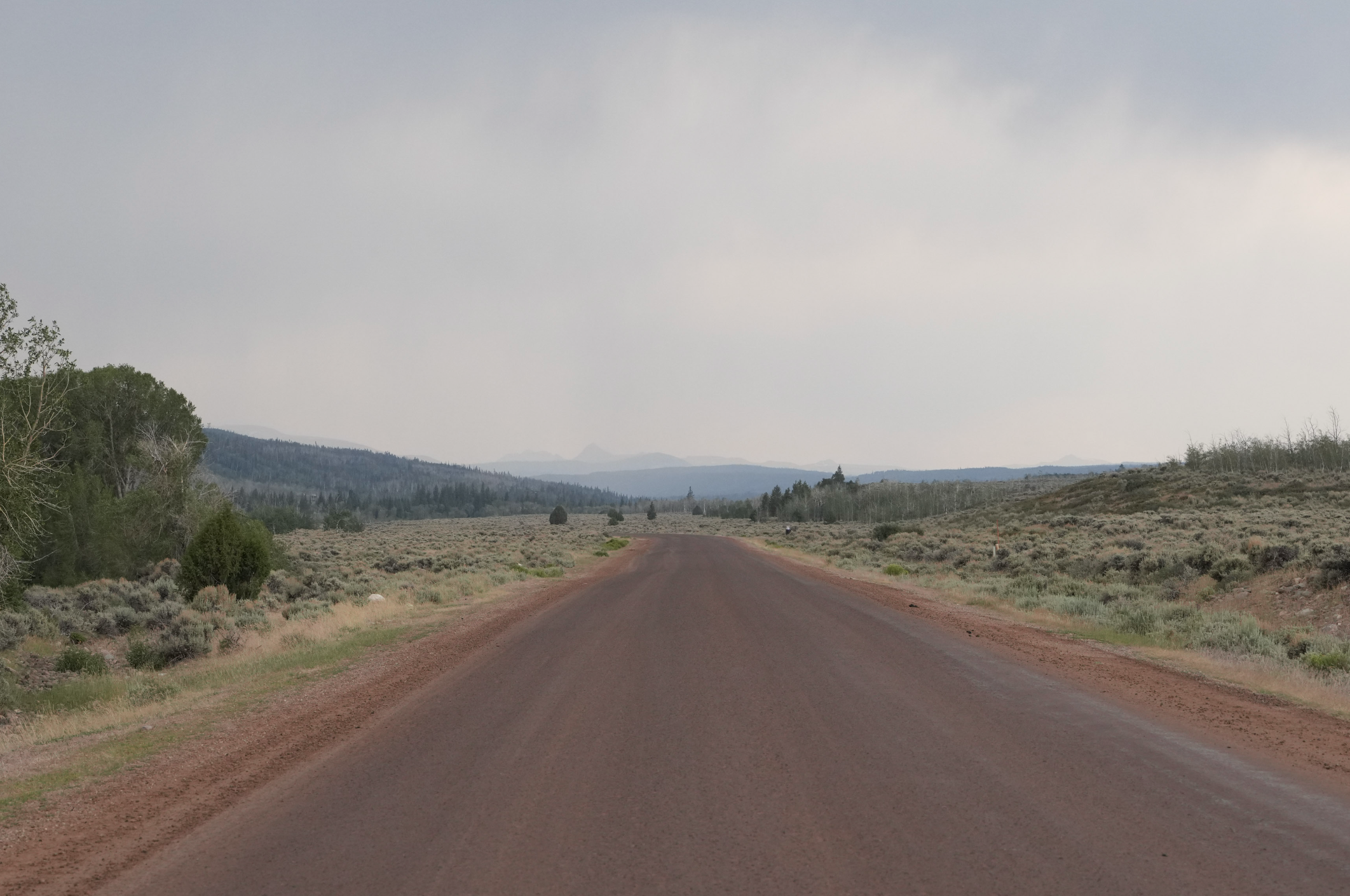
Thus it came to pass that a few weeks ago I found myself setting out on an extended road trip with no goal in mind, so I decided, literally at the last minute and with almost no understanding of what I was doing, to head towards the Uintas to see what I might find.
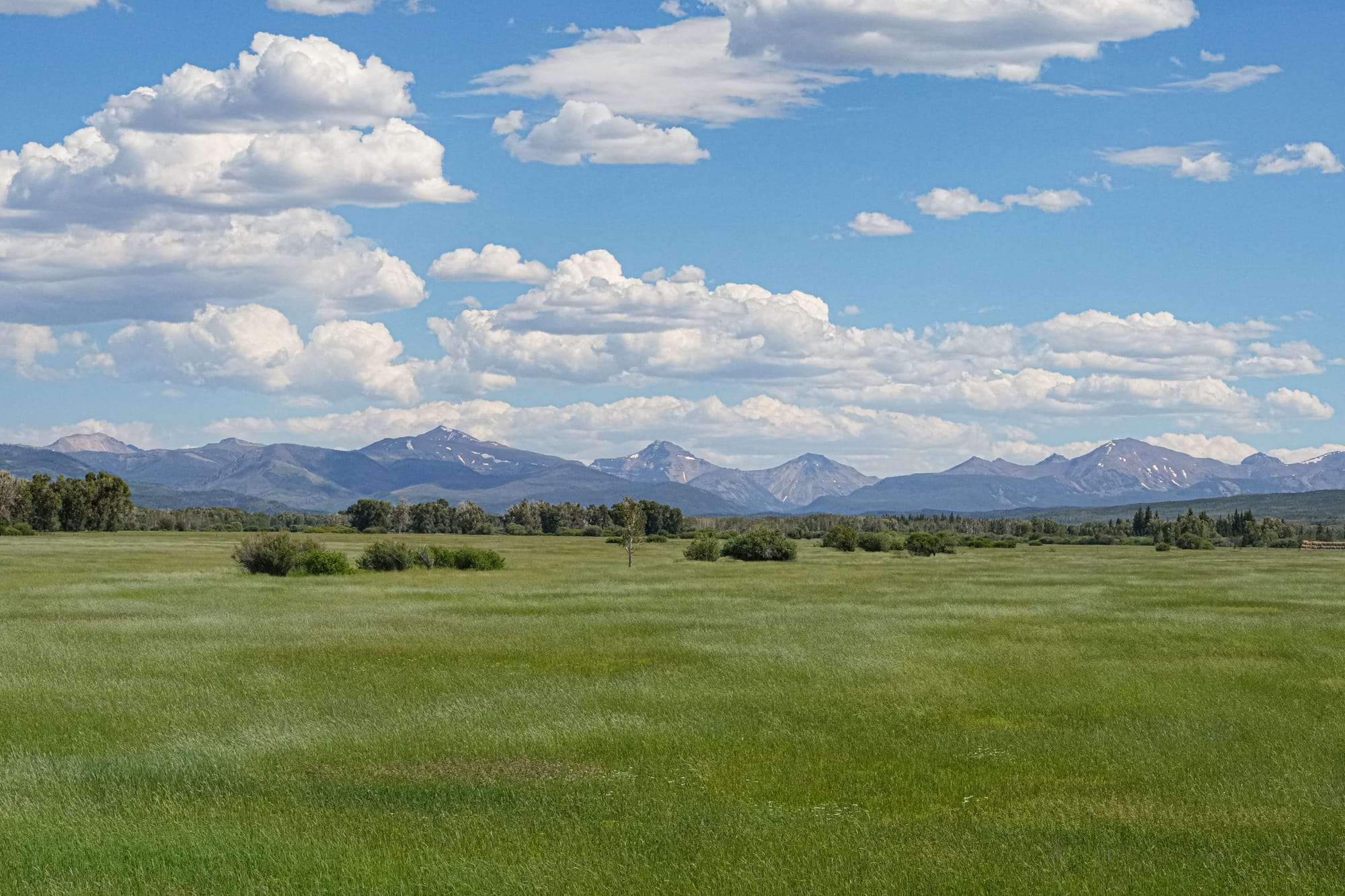
Why the Uintas? Well, these mountains have loomed large in my imagination for a very long time, but they turn out to be a unique and significant mountain range for a host of other reasons.
The Uinta Mountains are the highest and biggest east-west trending mountain range in the lower 48 states, with 19 peaks over 13,000 feet. And because this massive, high line of peaks cuts across the path of prevailing storms, they receive almost daily thunderstorms in the summer and deep winter snowpacks that linger through the year.
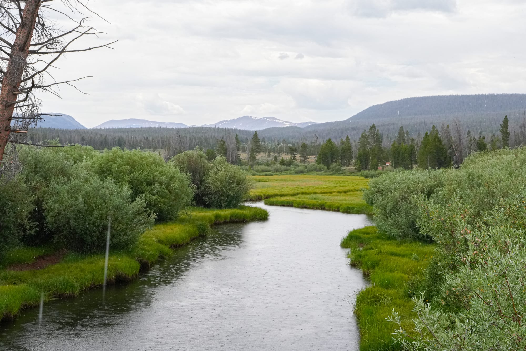
Surrounded by the arid plains of Wyoming to the north, red rock deserts of the Southwest to the east and south, and the Great Basin Desert to the west, the Uintas are an elevated oasis of lush green meadows, 1000 lakes and bodies of water, and 400 miles of streams that feed some of the West's great rivers.
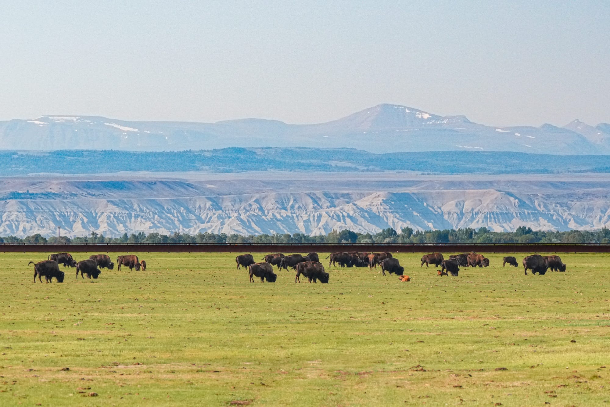
The Uintas are composed of metasedimentary rocks that were first deposited in a marine basin as the ancient supercontinent of Rodinia broke up 700-760 million years ago, then uplifted 50-70 million years ago due to the same processes that lifted much of the Rocky Mountains that the Uintas are part of.
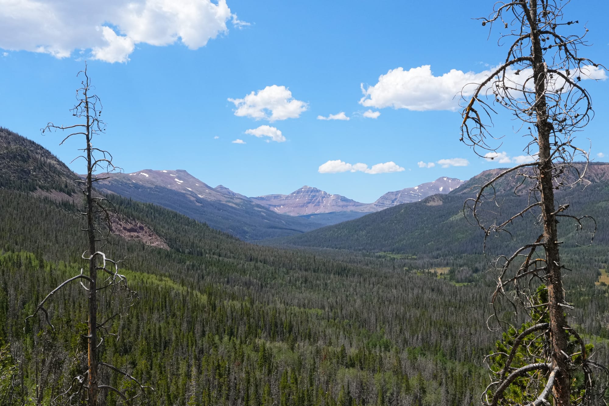
This landscape was then extensively covered and sculpted by glaciers during the last ice age, creating the long sweeping flat-bottomed valleys and alpine cirques that you see today. Despite their icy past, the Uintas are now the most northerly mountain range in the world over 13,000 ft with no modern glaciers and are also the highest mountain in the continental United States with no glaciers.
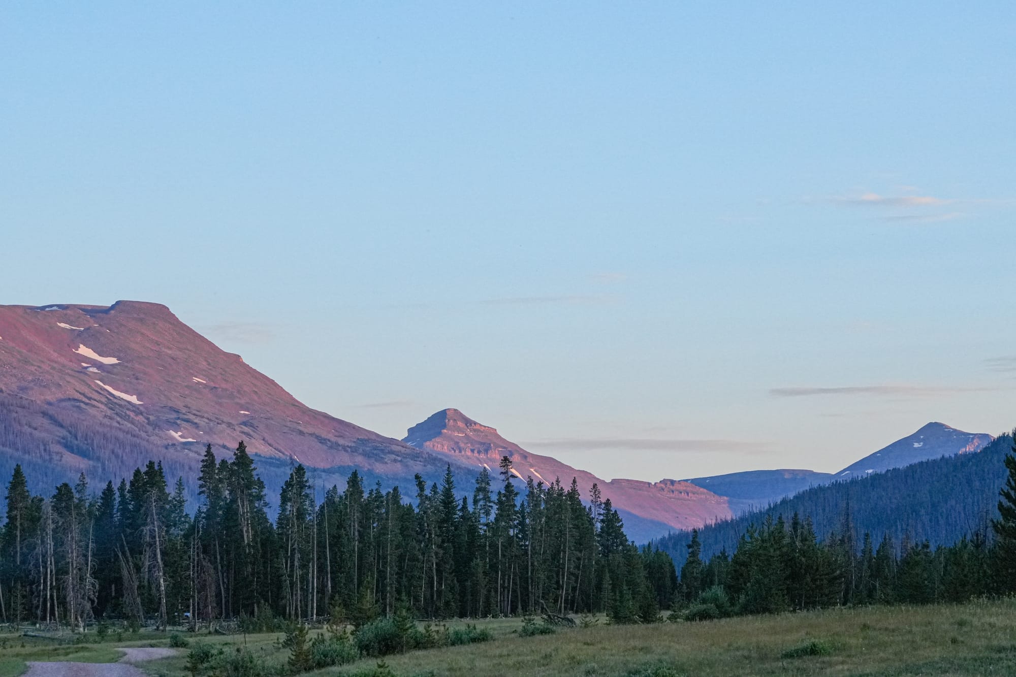
My lifelong dream has been to visit the Uintas and see this remarkable alpine landscape myself, but I have to admit that I got totally skunked on this trip. First off, nearly all the major trailheads start at around 10,000 feet, and it takes at least 10 miles of hiking to get anywhere close to treeline, so I set aside several days for light hiking to get used to the elevation before tackling a longer backpack into the high country. Unfortunately, by the time I was ready, a four-day monsoon storm with heavy rain and flash flooding in the forecast rolled in. I didn't feel like waiting in my tent, so I packed up and headed to Idaho's Sawtooth Mountains instead (which might be the topic for another newsletter!).
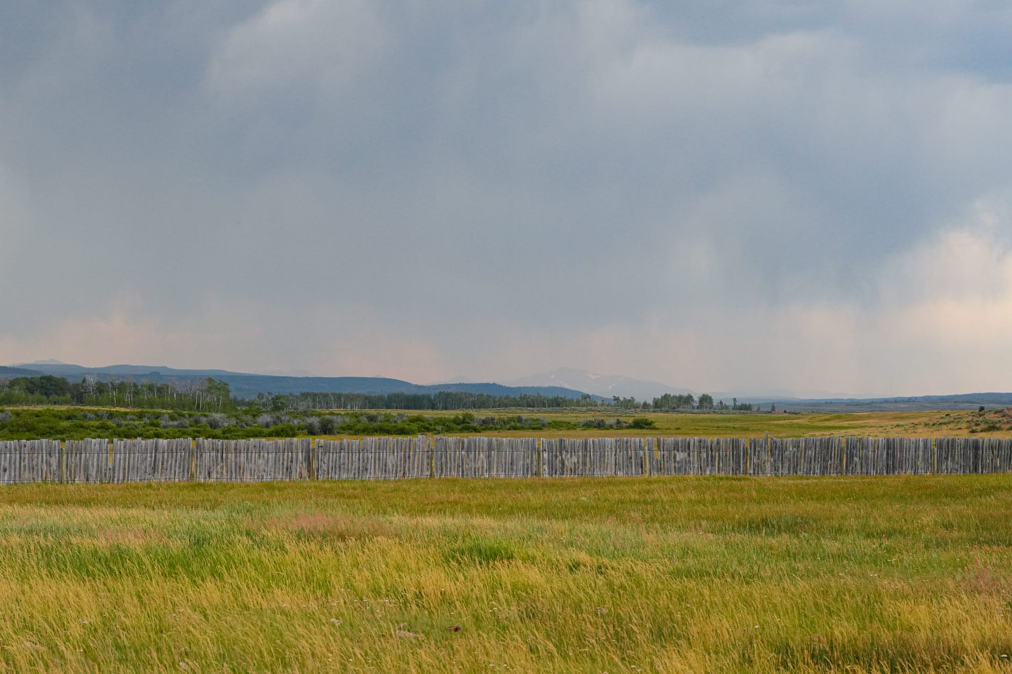
It's a shame because the Uintas are a legendary backpacking destination, with the 450,000-acre High Uinta Wilderness protecting the highest and biggest peaks in the western half of the range and even more areas protected by remote, treacherous access in the eastern half of the range. Essentially, the Uinta Mountains are a continuous series of long valleys running north and south from an east-west trending crest, and almost every valley has a trail extending from the heavily forested foothills to the alpine crest.
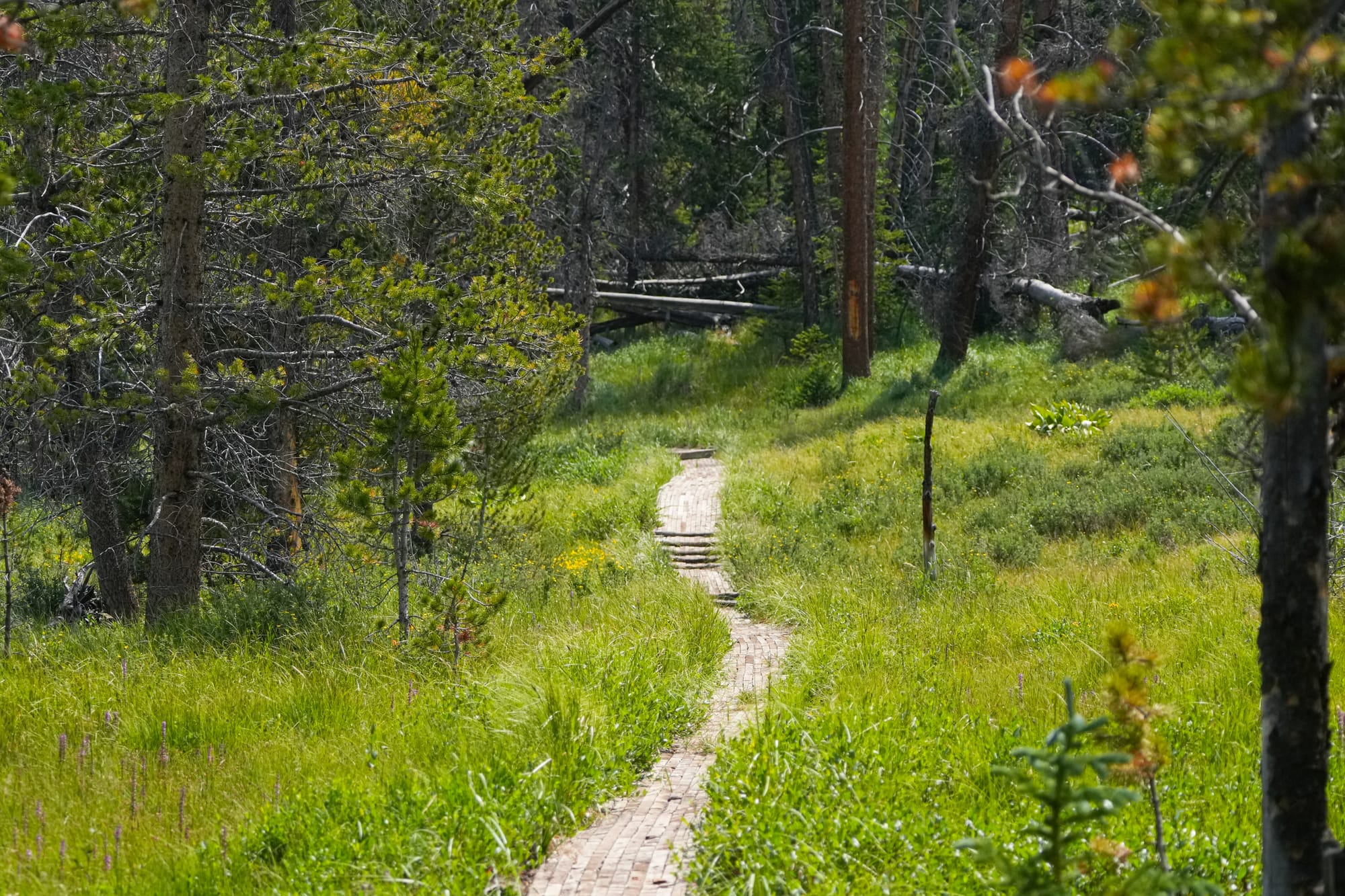
The crest itself is famous because highly experienced backpackers can hike the Highline Trail, with stays almost entirely at or above 10,000 feet for 100 miles, making it one of the hardest and most extreme hikes in the world.
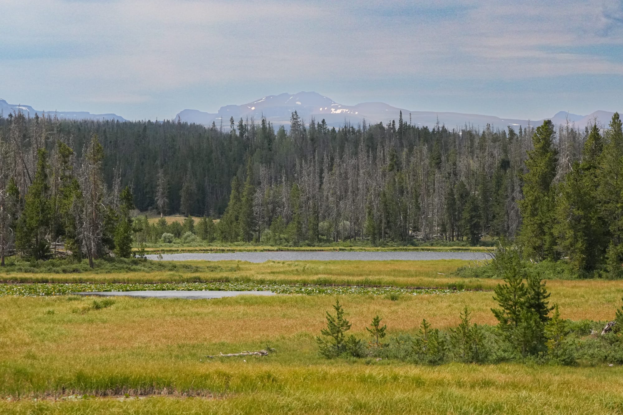
I had no intention of backpacking at high elevations, but I still wanted to at least walk up to the crest to see the larger landscape and unique geology. Instead, I ended up spending all my time exploring the foothills, with one short jaunt up to a high viewpoint, so today's newsletter is more of a snapshot of what I saw at lower elevations.
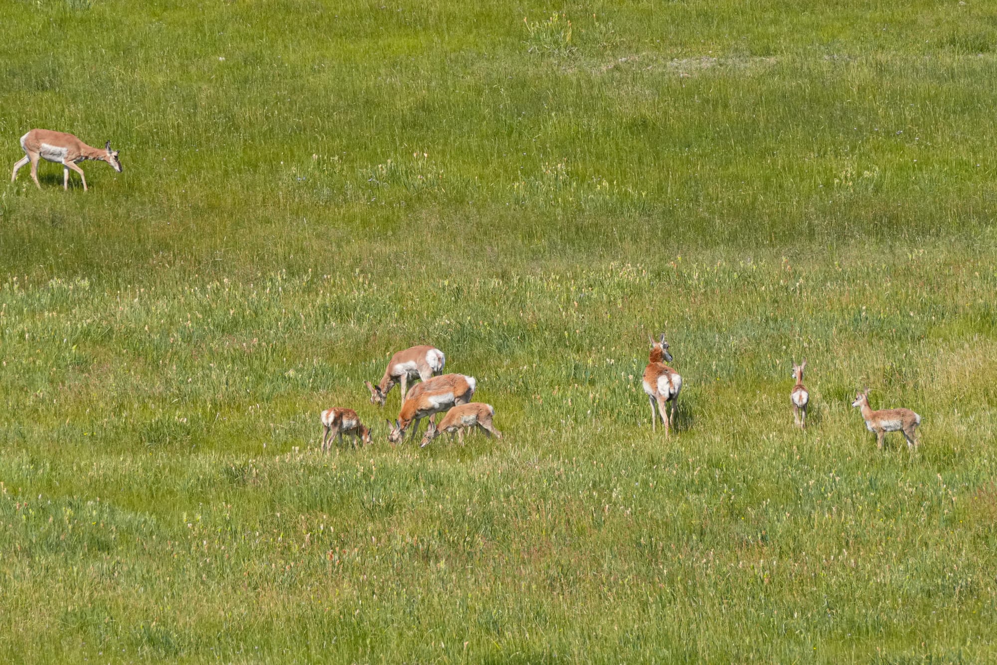
Despite my disappointment, it wasn't all bad because these mountains are incredibly biodiverse and rich in life.
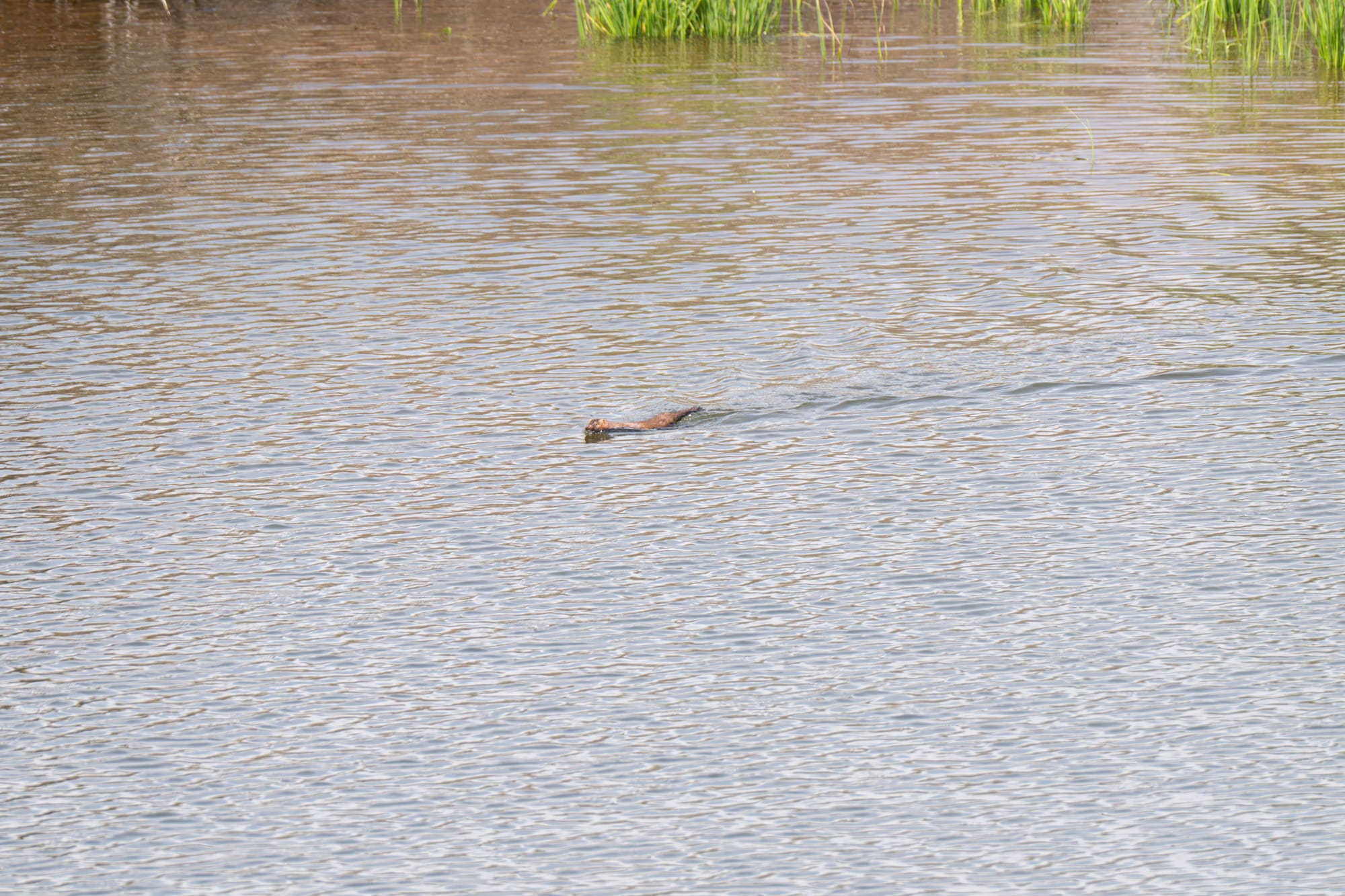
In fact, the Uintas are home to a huge range of animals, including elk, mule deer, moose, pronghorn, mountain goat, bighorn sheep, black bear, mountain lion, coyote, red fox, badger, wolverine, marten, and wolf.
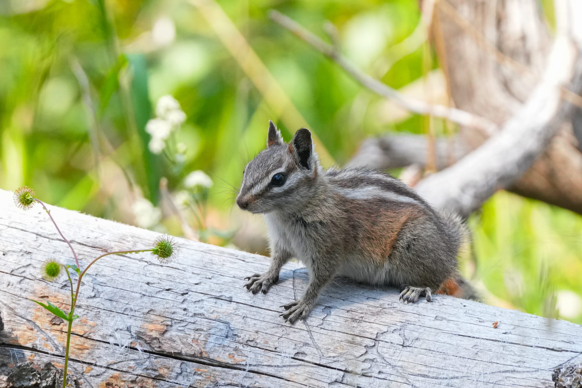
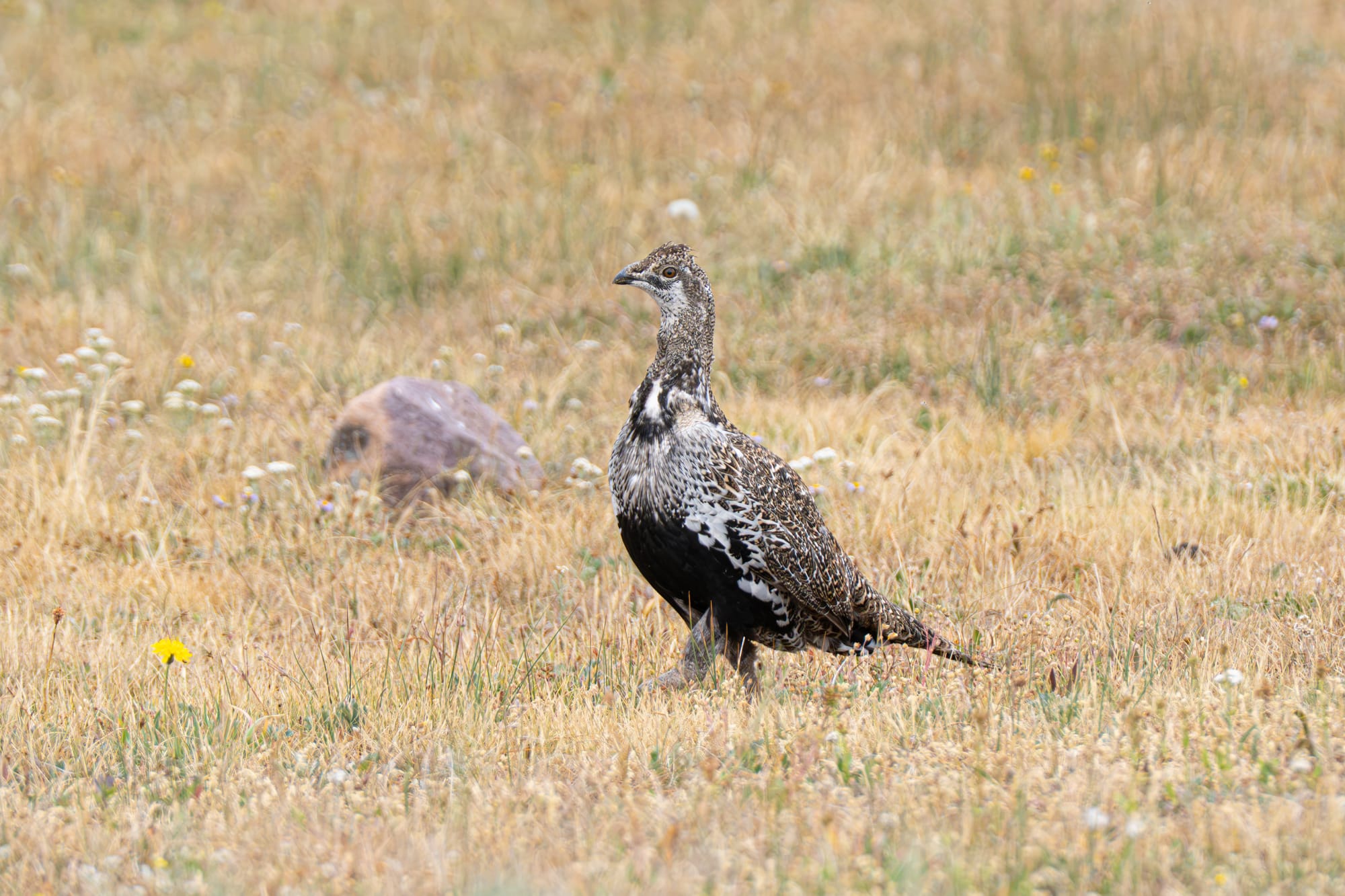
There were also an unbelievable number of birds, chipmunks, squirrels, and fields of flowers and butterflies to keep me occupied.
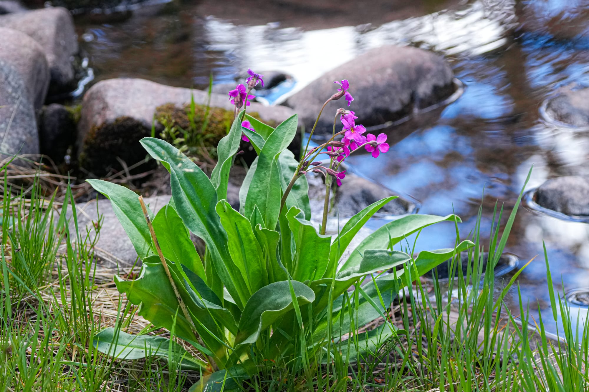
It was actually a fantastic experience to simply grab campsites at different trailheads and simply focus on doing a variety of short, leisurely naturalist strolls.
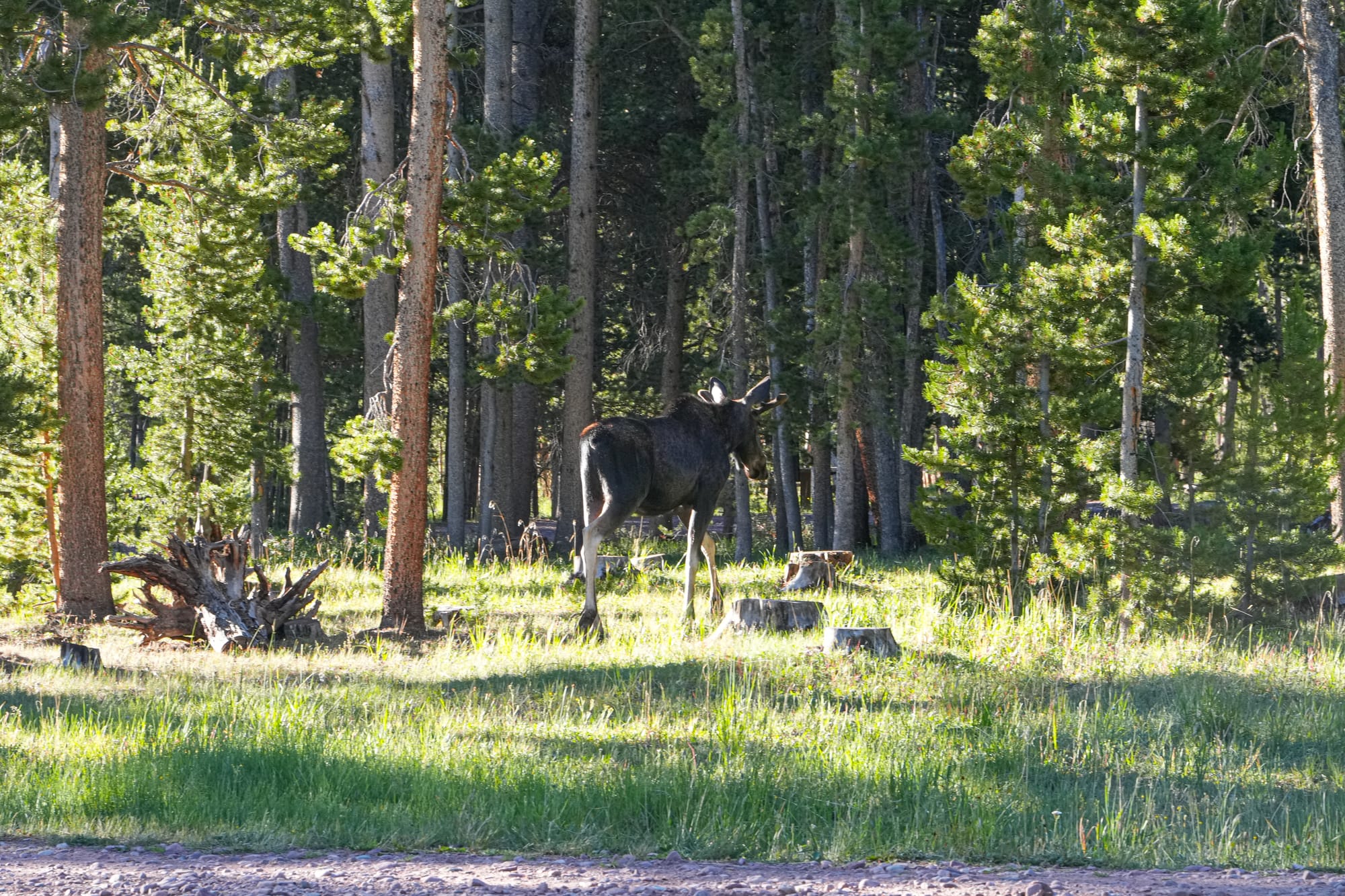
At one popular trailhead, there were almost no other people in the campground, and I only ran into one couple on the trail in days of hiking, so the feeling was incredibly peaceful and easy-going.
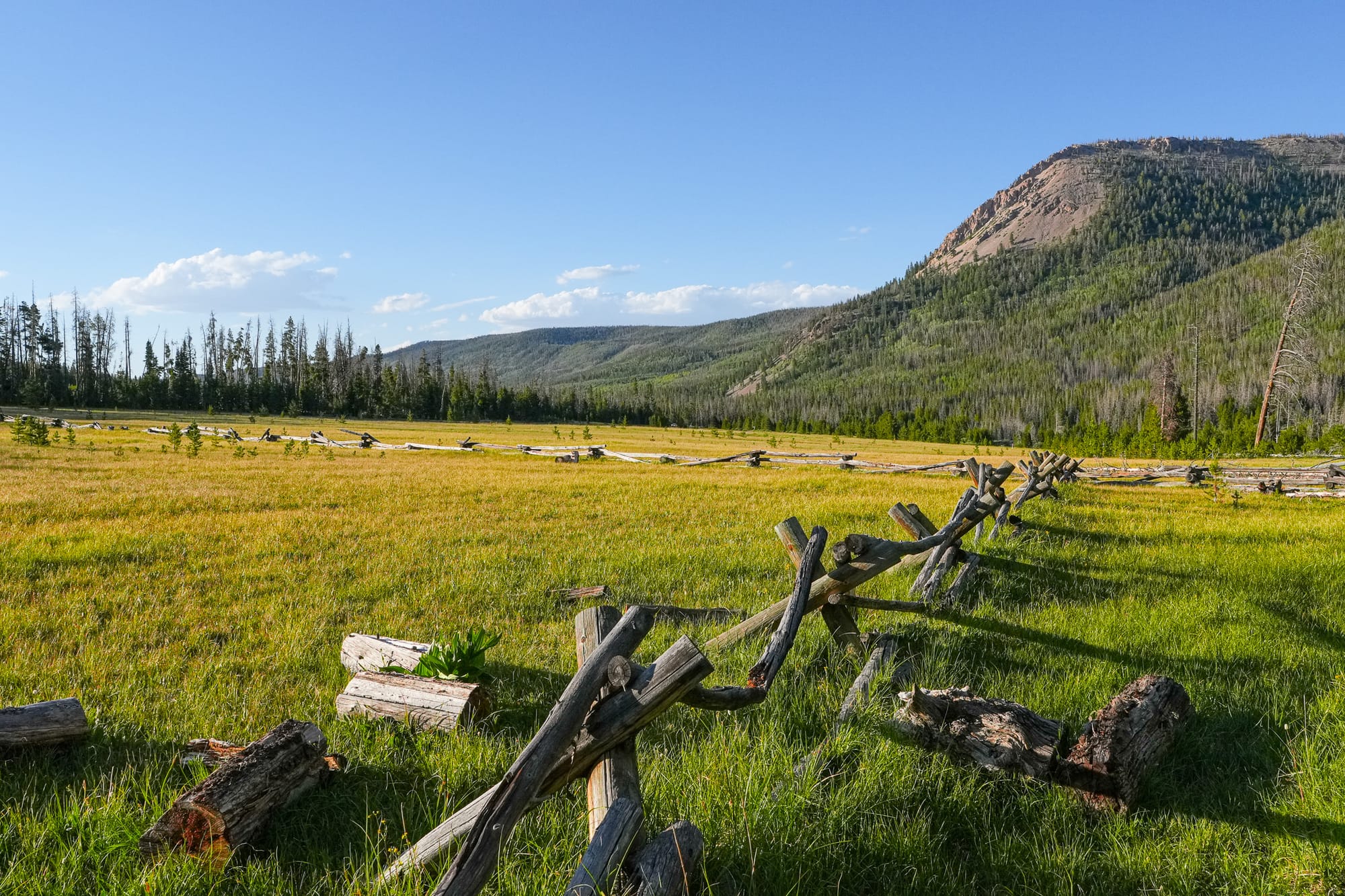
Wish me luck in returning to the Uintas again one day! In the meantime, I hope you've enjoyed this brief glimpse of a very special, wild place!

Member discussion